We head down the left bank of the Buural Gol through thick taiga to its confluence with the Ulaan Ongo Gol. The source of the Ulaan Ongo, seven or eight miles upstream from here, is only about a mile and a half from the source of the Khoogiin Gol, where we are headed, but Batmönkh says the head of the Ulaan Ongo Gol dead ends in impassable cliffs, making it impossible to reach the Khoogiin Gol from there. Instead we will head farther down the Buural and follow a small tributary of the Buural to a pass leading to the Khoogiin. The trail meanders through thick stands of willows and larch. At places the Buural Gol flows under ten-foot thick-football field-sized slabs of ice which Batmönkh says never melt during the summer.
Soon we come to the small unnamed tributary tumbling down a deep ravine to the left. We turn off and follow a vague trail up the right side of the ravine up through a thick larch forest. The misting rain slowly builds into a steady shower. Up ahead, through the mists and clouds, we can make out the snow already falling on the pass.
The trail gets steeper and steeper and we have to make many detours around fallen timber. On one particularly steep section Batmönkh, who is riding right behind me, shouts, “your girth strap has come loose.” He no sooner says this than my horse lunges upward over the steep trail. I feel the saddle sliding beneath me and I topple off the right side of the horse. The horse, with the saddle dangling underneath its belly by the front strap, goes berserk, bucking like a rodeo bronco. Hanging onto the lead rope I am dragging a couple of yards before the horse makes a final lunge and jerks the rope out of my hand. The horse promptly starts trotting back down the trail the way we come. Bayarkhüü rides off in hot pursuit. This is not good. After running off like this horses are notoriously hard to catch again, and especially by one person, like Bayarkhüü, on the thickly-forested side of a ravine. Batmönkh finds the saddle and inspecting it discovers that the girth strap had broken off where it attaches to the saddle. It is not clear, however, if this happened before or after the saddle came off.
After a half an hour Bayarkhüü appears with my horse in tow. My opinion of his horse-handling skills, already high, soars. Batmönkh jerry-rigs the strap back onto the saddle with a scrap of rope—some essential part, I can’t make out what, is missing—and soon we are back on the trail. Another half hour later we emerge from the taiga onto the tundra leading to the pass.

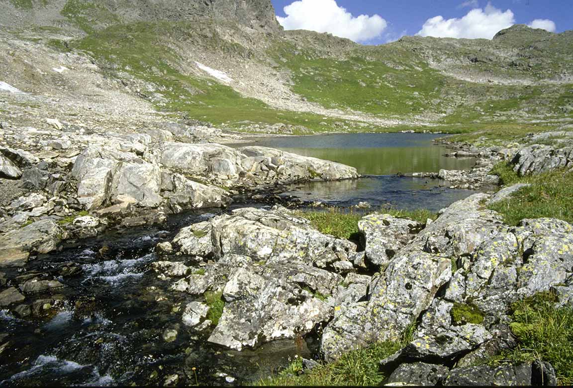
On the tundra below the pass (click on photos for enlargements)

Looking back the way we came
As we approach 8356-foot Khushit Khem Pass it starts snowing in earnest, big wet flakes which quickly soak through the deels of the horsemen, who have no rain gear. They hurry on across the pass. I linger behind with Nergui, who has no raingear either, but seems oblivious to the snow.

Nergui at 8356-foot Khushit Khem Pass. This is in the middle of June.